If you’re planning on spending any time in the wilderness, you must have a good understanding of navigation and orientation skills. Whether you’re lost and trying to find your way back to civilization, or just want to explore remote areas without getting turned around, these skills will come in handy. In this blog post, we’ll share some tips on how to stay oriented in the wilderness. We’ll also explain why traditional maps may not be the best tool for navigational purposes in a survival situation. So if you’re ready to learn more about orienting yourself in the wild, read on!
How to Use a Map and Compass
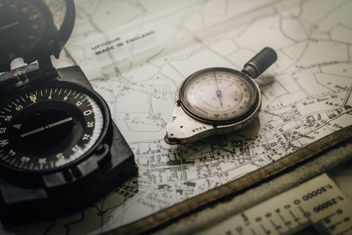
Knowing how to use a paper map and compass is an essential skill anyone who ventures out into the wild should have. It will help you navigate your way around unfamiliar terrain by finding your exact location with paper maps, and then taking a compass reading to get an idea of where you need to head next. To make sure your journey goes as smoothly as possible, you must master the basics of compass skills: understanding how a paper map works alongside direction and angles; calibrating and using a compass properly; and using it in poor weather or at night. With diligent practice and the proper knowledge, anyone can become an expert navigator!
How to Read a Topographic Map
Reading a topographic map is an important skill for outdoorsmen and navigators alike. By studying the contours of the land on a map, one can learn the elevation, terrain features, directions, and landmarks in any given area. Topographic maps also often note sources of water and other landmarks. Magnetic declination should be taken into consideration when reading a topographic map – because the needle of compasses always points towards Magnetic North whereas latitude and longitude define True North. Benchmarks are also essential to reading topographic maps as they indicate where elevation has been measured in relation to sea level and provide additional data points so that one can accurately determine their location relative to the map. With practice and study, understanding the many features found on topographic maps becomes easier, providing an invaluable tool for outdoor travel and navigation.
The Different Types of Maps Available
Maps have been an invaluable tool in helping humans make sense of their environment. From Physical maps with their vast topographical information such as elevation, rivers, lakes, and mountains to Climate maps that provide information on climatic patterns and vegetation zones, to Road maps containing detailed network systems of roads; all of these different types of maps provide a new perspective for us to study the Earth. Other types of maps leverage mankind’s advanced technology capabilities; Nautical maps provide marine navigation routes by plotting sunken submarines, wrecks, and reefs, whilst Satellite maps allow us to observe the Earth from above in high detail. Historical maps, instead, are an important tool for studying changes over time and helping understand major cultural differences between past eras. Indeed, all the available map types out there aid our exploration and knowledge of our planet!
The Benefits of GPS Technology

GPS technology has revolutionized navigation and provided many benefits in our lives. Accuracy is one of its most touted features, giving us precise locations for waypoints and route planning. With modern GPS receivers, finding a place on the map or finding your way has never been easier. Meanwhile, geocaching and tracklogs allow us to take note of the places we have visited, adding a fun new layer to hiking and other activities outdoors. All in all, GPS technology has changed how we get around, making sure that wherever our travels take us, we’ll always be able to find our way back home.
How to Use GPS for Navigation
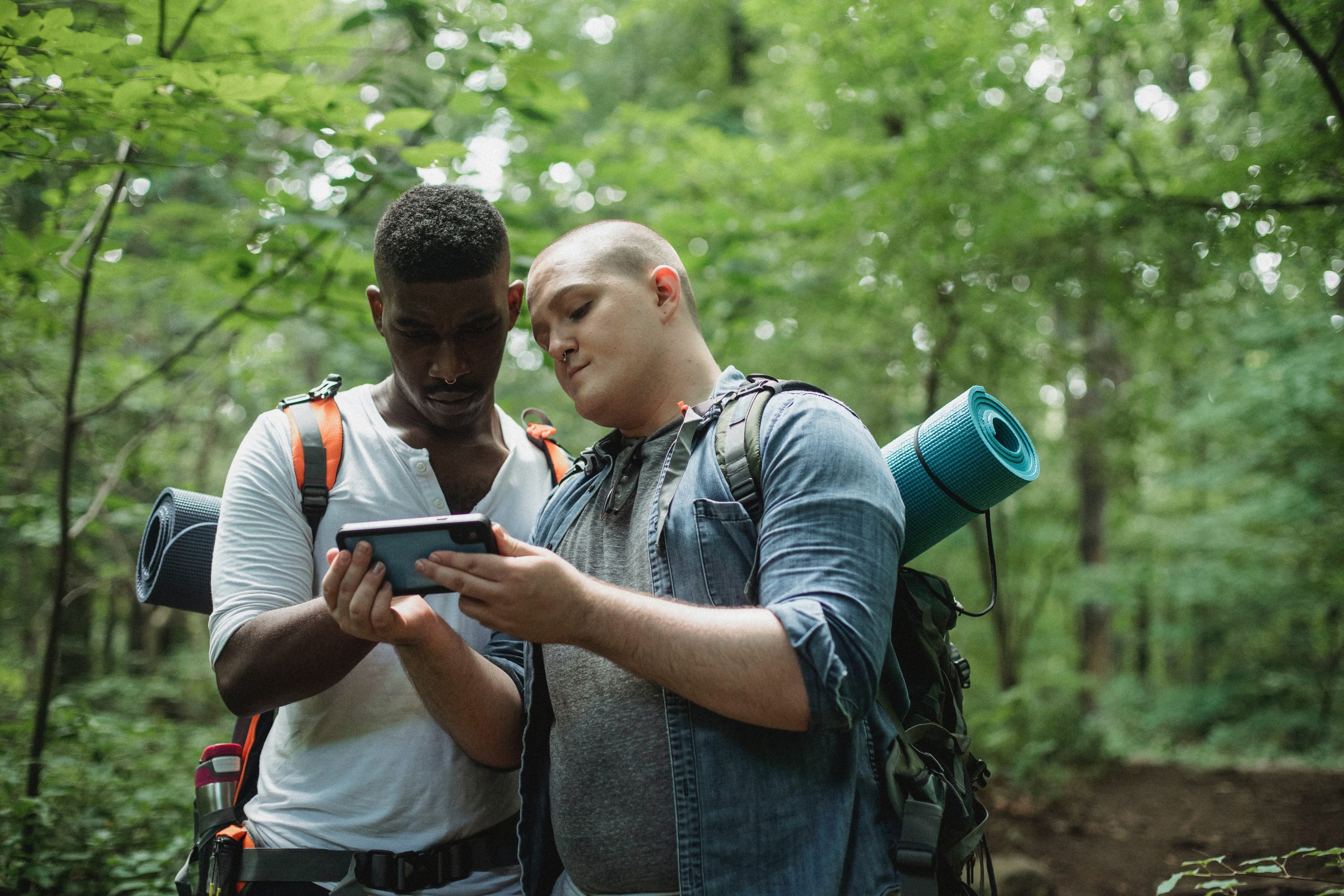
Familiarizing yourself with the use of GPS can help you navigate, no matter where you are! To get started, you’ll need to make sure that there is a clear view of the sky and that satellites have access to your GPS unit. Once you’ve done this, it’s time to input waypoints so that they can be saved and accessed later. You’ll also want to consider different modes of navigation such as turn-by-turn or route following. To top it off, stay engaged and aware as you use your GPS device so that you can learn the most about navigating your location.
The Limitations of GPS Technology
Global Positioning System (GPS) technology has revolutionized the way the world views navigation and location tracking. Unfortunately, many people don’t realize that GPS has its limitations. Physical limitations include interference from objects like large buildings or mountains; technological barriers may be affected by certain software systems or hardware malfunctions; legal restrictions could prevent navigation in certain areas; economic hurdles may mean GPS is too expensive for some users; environmental variables such as fog or rain can weaken signals; and finally, human failure is always a possibility when there’s a lack of attention to detail. As with any technology, balancing expectations and understanding the boundaries of GPS before use is paramount to success.
Navigating with a map and compass is an incredibly useful skill to have in the outdoors, whether you’re a beginner or an experienced navigator. With a proper understanding of topographic maps and GPS technology, outdoor adventurers can learn how to use various navigation tools effectively and safely. Topographic maps enable people to identify landmarks, calculate distances, anticipate terrain changes, and often accompany official trail guides. Meanwhile, GPS devices are efficient for pinpointing locations and maintaining a record of previously visited destinations. Lastly, keep in mind that while navigating with GPS technology can be helpful while exploring unknown areas, batteries drain quickly so make sure you bring extra power sources when needed. Ultimately, the most important thing is to embrace the challenge of navigating while enjoying the experience of exploration in the great outdoors!


